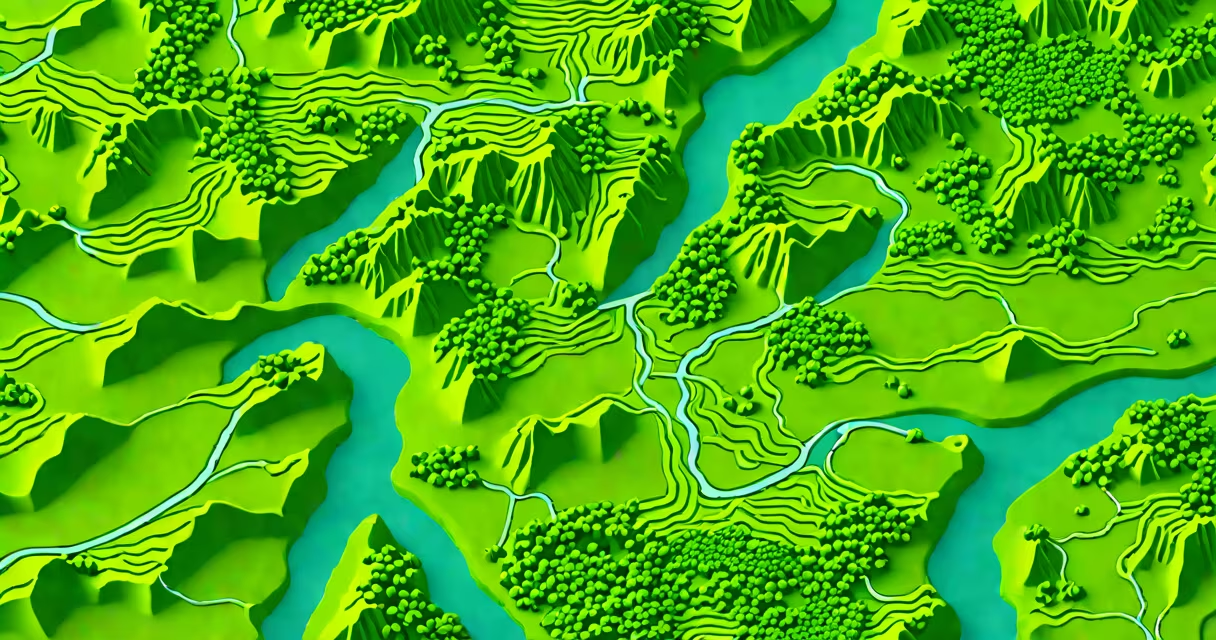
Free lidar maps are publicly available geospatial datasets created using light detection and ranging (lidar) technology. These maps provide high-resolution elevation data important for terrain analysis, land management, and urban planning.
Lidar uses laser pulses to measure distances to objects. A lidar system emits laser beams toward the ground and measures the time it takes for the light to reflect back. By analyzing these return times, lidar can create detailed 3D maps of the terrain, including elevation changes and surface features.
For example, the USGS Earth Explorer platform provides access to lidar datasets collected by government agencies and research institutions. These datasets often include raw point clouds, digital elevation models (DEMs), and derived products like slope and aspect maps.
Free lidar maps come in several forms, each serving different purposes:
| Type | Description | Common Uses |
|---|---|---|
| Point Clouds | Raw data points representing the ground and surface features | Detailed terrain analysis, vegetation mapping |
| Digital Elevation Models (DEMs) | Gridded representations of elevation data | Flood modeling, infrastructure planning |
| Contour Maps | Lines connecting points of equal elevation | Topographic mapping, land navigation |
Lidar maps are essential in various fields due to their accuracy and detail. For instance, urban planners use lidar data to design city infrastructure, while environmental scientists monitor changes in vegetation and land cover. In disaster management, lidar helps assess flood risks and plan mitigation strategies.
One common misconception is that lidar maps are only useful for large-scale projects. However, they are also valuable for small-scale applications, such as surveying individual properties or planning hiking trails. For example, the National Oceanic and Atmospheric Administration (NOAA) provides lidar data for coastal management, helping communities prepare for sea-level rise.
According to the USGS, lidar data is collected at varying resolutions, typically ranging from 1 meter to 10 meters. Higher-resolution data provides more detailed information but may cover smaller areas. When selecting a dataset, consider the resolution needed for your specific application.
Many people confuse lidar maps with satellite imagery. While both provide geospatial data, lidar offers higher resolution and more accurate elevation measurements. Satellite imagery captures surface features in 2D, whereas lidar creates 3D representations, making it superior for terrain analysis.
Another misconception is that lidar data is always free. While many government agencies provide free access to lidar datasets, some private companies offer proprietary data for a fee. Always check the licensing terms before using lidar data for commercial purposes.