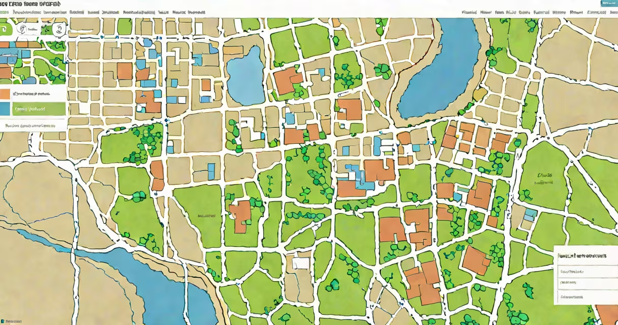
A **GIS property search** uses geographic information systems to locate and analyze land parcels through interactive maps. These tools display property boundaries, ownership details, and spatial data layers like zoning or flood zones.
GIS property searches rely on digital mapping software that integrates property records with geographic coordinates. Users input an address, parcel ID, or legal description to view detailed maps. The system overlays data such as tax assessments, land use, and infrastructure.
| Tool Type | Key Features | Common Users |
|---|---|---|
| Public Assessor Websites | Tax records, ownership history, parcel maps | Homeowners, real estate agents |
| County GIS Portals | Zoning data, flood zones, infrastructure layers | Planners, developers |
| Commercial Real Estate Platforms | Market trends, comparable sales, valuation tools | Investors, appraisers |
These tools simplify property research by replacing manual record searches with instant visual data. They help users verify boundaries, assess development potential, and comply with zoning regulations.
One common misconception is that GIS property searches only show basic ownership data. In reality, advanced systems integrate multiple datasets, including environmental hazards and utility locations, which are critical for due diligence.
While useful, GIS property searches may not always reflect recent transactions or boundary disputes. Some rural areas lack detailed parcel data, and urban environments may have overlapping jurisdictions affecting land use.
For my last home purchase, I used a county GIS tool to confirm the property lines matched the listing description. The map revealed an unrecorded easement that required further investigation before closing.
Traditional property searches involve visiting county offices to review paper records or PDF files. GIS property searches offer several advantages:
However, some jurisdictions still maintain separate digital records that aren't fully integrated with GIS systems, requiring supplementary research.
Begin by locating your county's GIS portal through a web search for "[County Name] GIS property search." Most systems offer tutorials or help sections to guide first-time users. Start with basic searches using known addresses, then explore advanced features like layer customization.
Remember that while GIS property searches provide valuable insights, they shouldn't replace professional surveys or legal reviews for critical transactions.