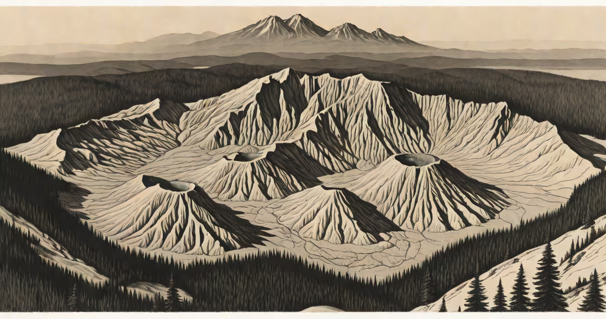
Mount St. Helens is an active stratovolcano located in Skamania County, Washington, in the Pacific Northwest region of the United States. It is part of the Cascade Range and is most notorious for its catastrophic eruption on May 18, 1980.
The mountain formed during the last ice age and is considered the most active volcano in the Cascade Range. It is part of the Pacific Ring of Fire, a hotspot for volcanic and seismic activity due to tectonic plate movements.
Mount St. Helens exhibits several types of volcanic activity, including:
The 1980 eruption was triggered by a 5.1 magnitude earthquake, causing the north face of the mountain to slide away in the largest landslide ever recorded. This released pressure on the magma below, resulting in a lateral blast that reached speeds of 300 mph and flattened 230 square miles of forest.
The eruption column rose 80,000 feet into the atmosphere, depositing ash across 11 states. Pyroclastic flows and lahars followed, causing widespread devastation. The event claimed 57 lives and caused over $1 billion in damage.
Since 1980, Mount St. Helens has continued to erupt periodically, with notable activity in 1982, 1986, 2004, and 2008. The U.S. Geological Survey closely monitors the volcano using seismometers, GPS, and other instruments to predict future eruptions.
Many people believe that Mount St. Helens was completely destroyed by the 1980 eruption. However, the volcano has since rebuilt its summit through dome-building eruptions. The mountain now stands at 8,363 feet, compared to its pre-eruption height of 9,677 feet.