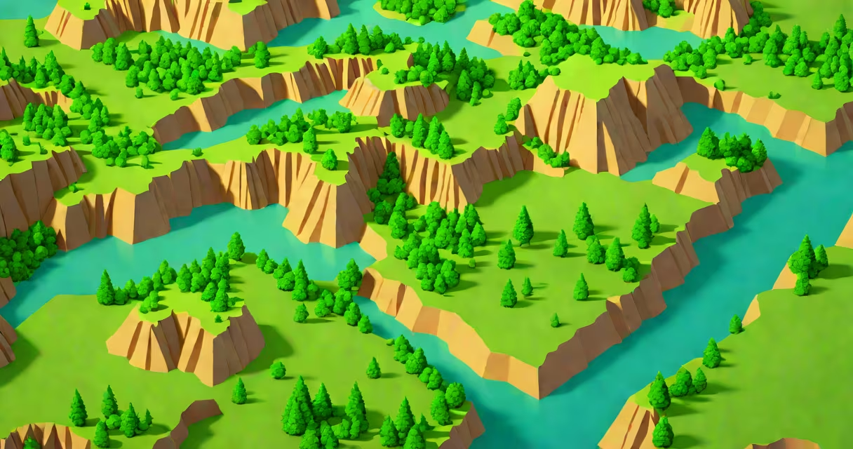
Lidar imagery produces detailed 3D maps using laser pulses reflected off surfaces, revealing terrain features invisible to the naked eye. The resulting data points form dense clouds that software converts into color-coded elevation models.
Lidar systems emit rapid laser pulses from aircraft or ground stations. These pulses bounce back when hitting objects, with sensors measuring the time delay to calculate distance. The system records thousands of points per second, creating a point cloud representing the surveyed area's surface.
For example, the USGS uses lidar to map floodplains. Their equipment emits 160,000 pulses per second, generating point clouds with vertical accuracy within 10 centimeters. The resulting data helps model water flow during floods.
| Type | Platform | Typical Use Case |
|---|---|---|
| Airborne Lidar | Aircraft | Large-scale terrain mapping |
| Terrestrial Lidar | Tripod-mounted | Building facades, cultural heritage |
| Mobile Lidar | Vehicle-mounted | Road infrastructure, urban planning |
| Bathymetric Lidar | Aircraft | Shallow water mapping |
People often confuse lidar with radar, but they use different technologies. Radar relies on radio waves and measures velocity well, while lidar uses light and excels at measuring distance and shape. Unlike radar, lidar cannot penetrate solid objects but provides higher resolution.
Another misconception is that lidar images look like traditional photographs. Instead, raw lidar data appears as scattered points that require specialized software to change into recognizable 3D models. The final visualizations often use color gradients to represent elevation changes.
Archaeologists use lidar to reveal hidden structures beneath dense vegetation. In 2015, researchers discovered a previously unknown Mayan city in Guatemala by analyzing lidar data that showed geometric patterns invisible in aerial photographs.
Self-driving cars also rely on lidar sensors to create real-time 3D maps of their surroundings. These vehicles combine lidar with cameras and radar to go through complex environments safely. The lidar component typically produces rotating laser beams that create a 360-degree field of view around the vehicle.
I once witnessed a lidar survey in action during a forest inventory project. The aircraft flew at 1,000 meters altitude, emitting green laser pulses visible through special goggles. The resulting data helped foresters assess tree density and health across thousands of acres.
Specialized software processes raw lidar point clouds into various visualizations. Common outputs include:
These visualizations help professionals analyze landscapes, plan construction projects, and monitor environmental changes. For instance, geologists use lidar-derived DEMs to study fault lines and volcanic activity patterns.