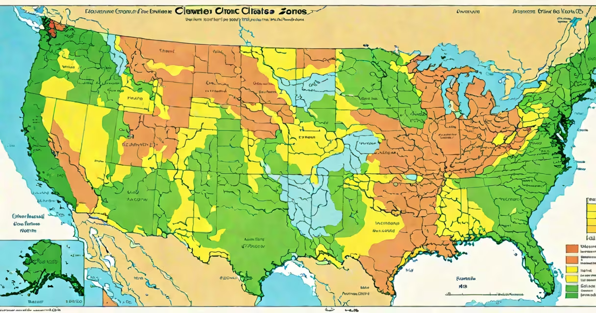
US climate zones divide the country into regions based on average temperatures and weather patterns, primarily used for agriculture and construction. The most widely recognized system is the USDA Plant Hardiness Zone Map, which categorizes areas by their minimum winter temperatures.
The USDA system divides the contiguous United States into 13 zones, each representing a 10°F difference in average annual minimum temperature. Each zone is further divided into "a" and "b" subzones, representing 5°F differences. For example, Zone 5a has minimum temperatures between -20°F and -15°F, while Zone 5b ranges from -15°F to -10°F.
These zones help gardeners determine which plants are most likely to thrive in their area. The system was updated in 2012 to reflect more accurate data and changing climate patterns.
| Zone | Temperature Range (°F) | Example Locations |
|---|---|---|
| 1 | -60 to -50 | Northern Minnesota, Alaska |
| 2 | -50 to -40 | Montana, North Dakota |
| 3 | -40 to -30 | Vermont, Wisconsin |
| 4 | -30 to -20 | New York, Michigan |
| 5 | -20 to -10 | Ohio, Pennsylvania |
| 6 | -10 to 0 | Washington DC, Kentucky |
| 7 | 0 to 10 | North Carolina, Tennessee |
| 8 | 10 to 20 | Georgia, Alabama |
| 9 | 20 to 30 | Florida, Southern California |
| 10 | 30 to 40 | Southern Texas, Hawaii |
| 11 | Above 40 | Southern Florida, Puerto Rico |
| 12 | Above 50 | American Samoa, Guam |
| 13 | Above 60 | None in the contiguous US |
US climate zones primarily guide planting decisions for gardens and farms. Gardeners use the map to select plants that can survive their local winter temperatures. For example, a gardener in Zone 5 should choose plants rated for Zones 5 or lower.
Builders also use climate zones to determine appropriate building materials and insulation levels. The International Residential Code (IRC) uses climate zones to set energy efficiency requirements for new construction.
Many people confuse climate zones with other geographic classifications like time zones or elevation. While elevation can affect microclimates, the USDA zones focus solely on average annual minimum temperatures.
Another misconception is that climate zones predict summer temperatures. They don't - they only indicate winter lows. For example, Zone 5 includes areas with very different summer climates, from the humid East Coast to the arid Rocky Mountains.
To use the map, find your location on the interactive version on the USDA website. Enter your ZIP code to see your specific zone. Remember that microclimates created by bodies of water, elevation changes, or urban heat islands can create variations within zones.
When selecting plants, look for their hardiness ratings. These ratings indicate the zones where the plant is most likely to thrive. For example, a plant rated for Zones 4-8 can grow in any of those zones but may struggle in colder or warmer areas.
I once used the map to plan my vegetable garden in Chicago, which falls in Zone 5. By selecting cold-hardy varieties suitable for my zone, I was able to extend my growing season and improve my harvest yields.