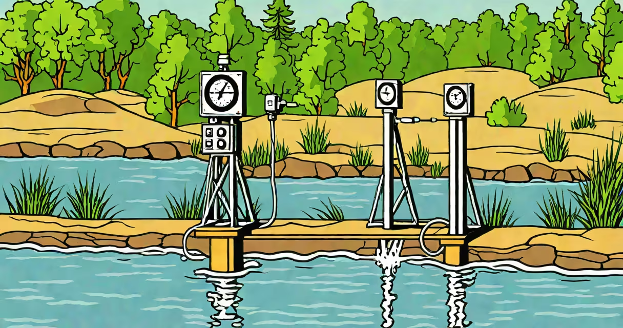
USGS water levels are real-time measurements of river and stream heights collected by the U.S. Geological Survey. These measurements help predict floods, track droughts, and manage water resources.
The USGS operates over 8,000 streamgages nationwide. Each gauge station measures the height of the water surface, called stage, using sensors. The data is transmitted hourly via satellite to the USGS National Water Information System.
Most stations also measure streamflow, or discharge, which is the volume of water passing a point per unit time. This is calculated using the stage data combined with measurements of the channel's cross-sectional area and slope.
| Data Type | Description | Example Use |
|---|---|---|
| Real-time data | Hourly measurements updated continuously | Flood warnings |
| Provisional data | Unverified measurements from the past 30 days | Initial drought assessments |
| Historical data | Verified records dating back decades | Long-term trend analysis |
These measurements support critical decisions about public safety, water supply, and system health. For example, during Hurricane Harvey in 2017, USGS data helped emergency managers issue timely flood warnings that saved lives.
Water levels also reveal long-term trends. According to the USGS, many western rivers have seen decreased flow due to climate change and water withdrawals. The Colorado River's average flow has dropped 20% compared to the 20th century average.
Many people confuse water level (stage) with streamflow (discharge). A rising water level doesn't always mean higher flow - it could just indicate a narrower channel. Similarly, a falling level doesn't always mean lower flow - it might reflect a wider channel downstream.
Another misconception is that all USGS stations measure both stage and flow. About 15% of stations only measure stage due to technical limitations or funding constraints.
All USGS water level data is free and publicly available through the National Water Information System. Users can view maps, graphs, and tables for any station. The system also offers tools for downloading historical records and setting up custom alerts.
For more on how environmental factors affect water quality, see how dissolved oxygen levels in water are measured and monitored.
While complete, the USGS network has gaps. Some rural areas lack coverage due to limited funding., extreme events like ice buildup or debris can temporarily disrupt measurements. The USGS works with partners to maintain and expand the network despite these challenges.