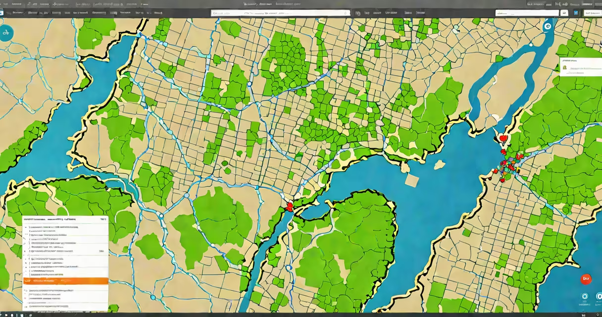
An arcgis web application is an interactive map-based tool built using Esri's ArcGIS platform, designed for sharing geographic data and analysis online. These applications allow users to visualize, analyze, and share geospatial information through customizable interfaces.
ArcGIS web applications operate by connecting to geospatial data stored in ArcGIS Online or an on-premises ArcGIS Enterprise system. Users interact with these applications through web browsers, accessing maps, layers, and tools configured by developers or GIS professionals. The platform supports both simple map viewers and complex applications with custom workflows.
For example, a city planning department might create an arcgis web application to display zoning information, property boundaries, and infrastructure projects. Residents could access this application to view proposed developments and provide feedback.
ArcGIS web applications consist of several key components:
Organizations across various industries use arcgis web applications for diverse purposes:
| Industry | Use Case |
|---|---|
| Urban Planning | Visualizing land use, zoning, and infrastructure projects |
| Environmental Management | Monitoring deforestation, pollution, and wildlife habitats |
| Public Health | Tracking disease outbreaks and resource allocation |
| Transportation | Analyzing traffic patterns and public transit routes |
While arcgis web applications focus on geospatial data visualization and analysis, fullstack web applications encompass broader functionalities, including user authentication, database management, and backend services. ArcGIS web applications use Esri's specialized tools and APIs for GIS-specific tasks, whereas fullstack applications may integrate multiple technologies for varied purposes.
To build an arcgis web application, users typically follow these steps:
Many users assume that arcgis web applications require advanced programming skills. However, Esri's Web AppBuilder allows non-developers to create functional applications using pre-built templates and drag-and-drop tools. This democratizes access to geospatial technology, enabling organizations to deploy solutions quickly and efficiently.
In my experience, setting up a basic arcgis web application to display park locations and amenities took less than an hour using the Web AppBuilder. The intuitive interface made it easy to configure the map, add search functionality, and customize the appearance without writing any code.